Using Te Ara -
The Encyclopedia of New Zealand
1. Waitemata Harbour
L.I. Develop our knowledge of Auckland and the Tamaki River.
Familiarise ourselves with an online NZ encyclopaedia.
Use our skimming and scanning skills.
Enter Waitemata into the search box and use that page to answer these questions.
What sort of landform is the Waitemata harbour?
- Its a drowned river valley system .✔
Why was it chosen to be New Zealand’s capital?
Its was chosen because it allowed boats and ships to sail on it. Also
sheltered bay and deep water help governor-lieutenant hobson .
What does Waitemata mean? it means obsidian water or glass✔.
Tell me one interesting fact about each of these features of the Waitemata: it is the size of 70 square miles ✔
Auckland’s chief port -Ports of auckland limited is known as POAL✔
Viaduct basin -It is located in the heart of auckland✔
Westhaven - The tides that drift in and out of the waitemata harur
Harbour bridge -It is the second largest bridge in the north shore
Greenhithe bridge -Greenhithe bridge is a motorway bridge it spans over waitemata and connected to the hobsonville.✔
Natural features - The waitemata harbour is the main access to the by sea to Auckland. ✔
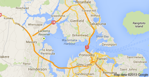
Copy the map here
No comments:
Post a Comment
Note: only a member of this blog may post a comment.